Recommended trips
Taking a boat trip over Bygdin, you can reach numerous beautiful mountains and scenic valleys. Feel free to combine a mountain trip to Torfinnsbu with a boat trip across the rest of the water, or how about a round trip through Svartdalen, where you take both Bygdinbåten and Gjendebåten? Here are many great trips you can go on your own, or you can sign up for one of our many package tours!
Svartdalen
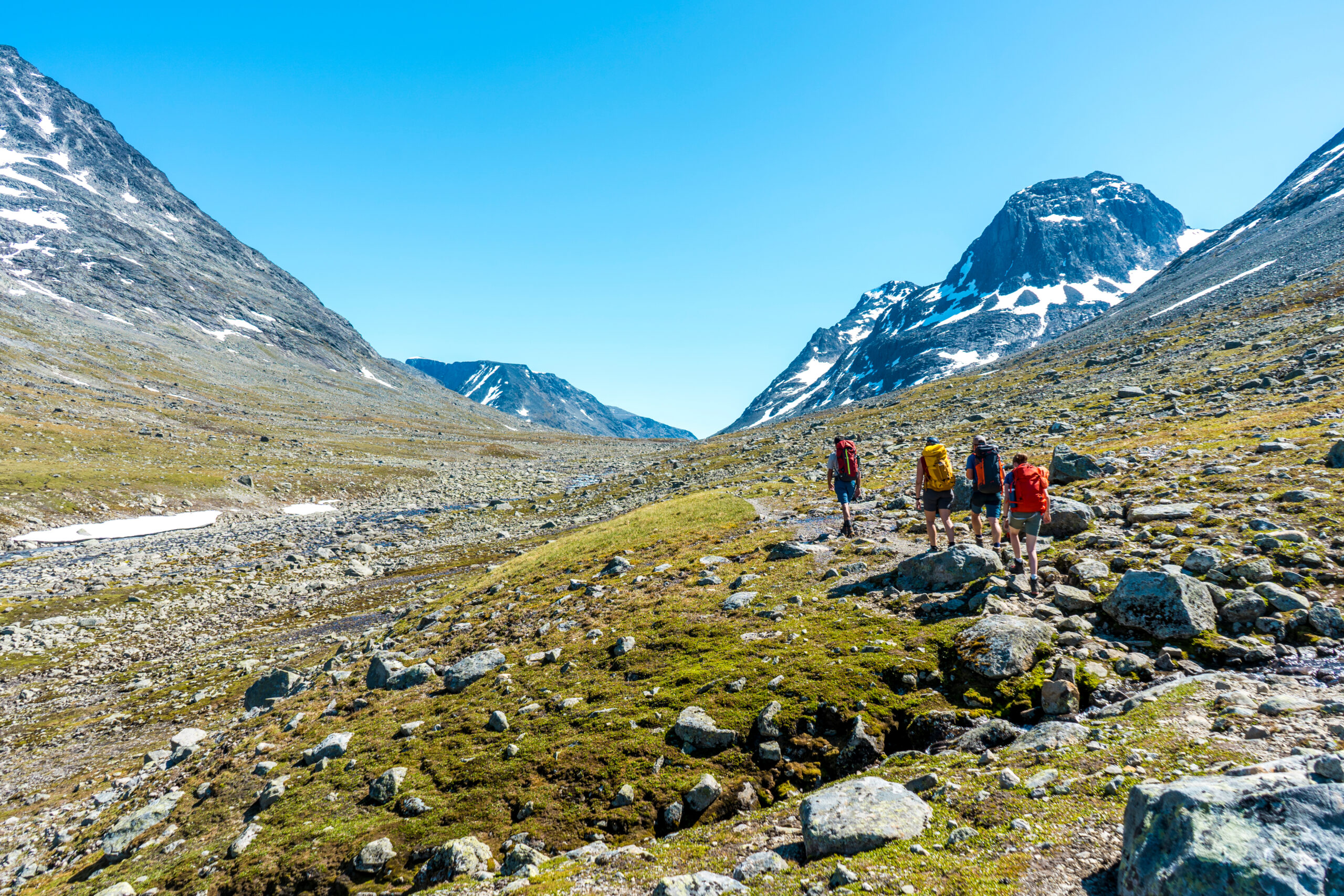
Go through one of Norway’s finest valleys! The trip between Torfinnsbu and Gjendebu takes you through Svartdalen, with beautiful peaks on all sides. The trip involves no less than two cruises in the mountains. One boat trip on Gjende and one on Bygdin. Can it get better?
Facts
- Length: 14 km
- Time: 4-5 hours, breaks included
- Marking: DNT-marked with red T’s
- Altitude: 560 m
- Difficulty: Medium to demanding. A trip most people can manage
Tour description
Svartdalen is referred to as Jotunheimen’s most beautiful valley and we do not disagree. After an easy and relatively quick ascent up Torfinnsdalen to approx. 1200m above sea level, the terrain flattens out somewhat. The further ascent to the summit at 1500 masl is easy and here you look out over Svartdalstjednet. Through and down in Svartdalen you walk with many mighty 2000m peaks on both sides, almost like an avenue. The sight of Mesmogtinden and Leirungskampen, among others, can take the breath away from most people. Remember to enjoy the view! After the last of three ponds, the river is crossed on T-marked rocks. Even if the river is crossed without a bridge, it is easy to cross once you have found the marked stones in the river bed. Along the descent towards Gjendebu you see i.a. Bukkelægeret and Besseggen on the north side of the green Gjendevannet. Right in front of you you see a number of 2000m peaks both towards Eidsbugarden in the west, Spiterstulen in the north and Memurubu in the east. A steep, but rather short descent towards Gjendebu ends the trip.
If you want to go on this trip as a day trip, you have exactly 6.5 hours from the boat arriving at Torfinnsbu until the boat leaves Gjendebu. This is sufficient for everyone who is in normal physical shape, including children from the age of 10-12. Feel free to ask the crew on M / B Bitihorn for a map that shows where you should be at a given time. This way you can easily follow if you need to adjust the speed a little.
Here´s how to do it
- Drive to Bygdin or take the Valdres Express at 08:45 from Beitostølen (which corresponds by bus from Fagernes at 08:00).
- Take the M / B Bitihorn from Bygdin at 09:05.
- Enjoy the day through Svartdalen
- Take the Gjende boat from Gjendebu at 16:25 to Gjendesheim.
- The boat corresponds with the Valdres Express to Beitostølen and Fagernes (and Leirvassbu and Oslo).
Tips from the captain
Make sure you cross the river before the descent towards Gjendebu no later than 14:00 to reach the boat to Gjendesheim.
Take it easy down the steepest part of the descent to Gjendebu.
The pier to Gjendebåten is located approx. 500m past Gjendebu (approx. 10min walk).
Hike to Leirungskampen
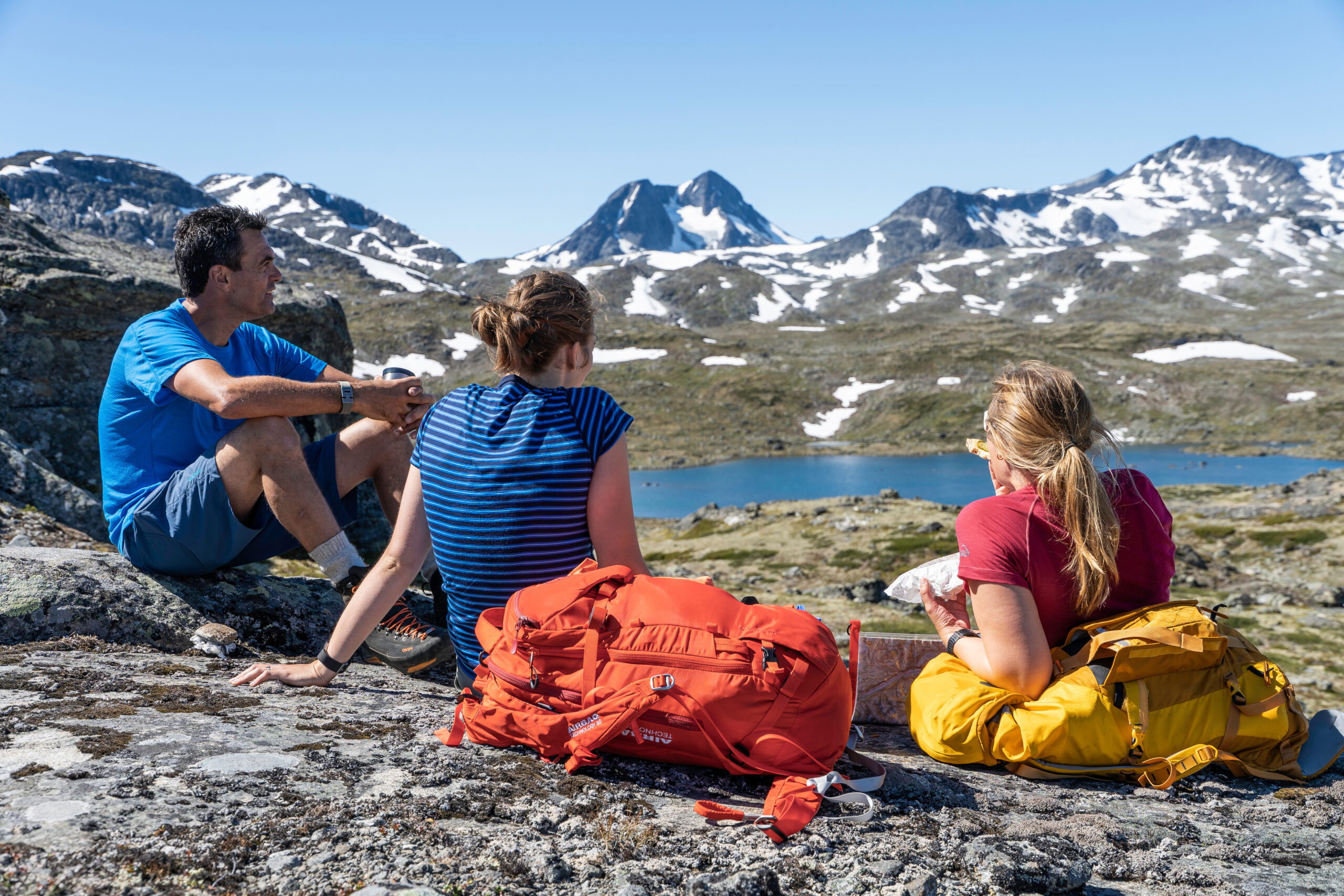
Leirungskampen is a great and exciting summit trip that can be taken as a day trip from Torfinnsbu. Take the first boat from Bygdin in and the last out again. The peak is also a great alternative to Østre Torfinnstind if you are not comfortable with or do not have enough experience to walk this peak on your own and do not want to join a guided tour.
Facts
- Length: 14 km
- Time: 4-5 hours, plus breaks
- Marking: Partially marked
- Altitude: 1070 m
- Difficulty: Demanding. Should be in good physical shape
Tour description
The trip starts by following the path to Gjendebu up Torfinnsdalen and into Svartdalen. About halfway along the first pond, the path goes up to the right to Svartdalsbandet (and Leirungsdalen). The path up to Svartdalsbandet and through Leirungsdalen was marked, but the marking was later removed. Still, the trail is easy to find and follow. Well up on Svartdalsbandet you turn right and follow the edge up to the forehead of Leirungskampen. Here you continue down a cut and around the west side of a small pointed peak before the main peak. There are some loose rock masses when you round the top, but it is not difficult and no problem if you exercise a little caution. You can also go over the top, but it requires a bit of splitting. The rest of the trip to the very top of Leirungskampen is easy.
Here´s how to do it
Drive to Bygdin or take the Valdres Express from Beitostølen at 08:45 (which also corresponds by bus from Fagernes at 08:00)
Take the M / B Bitihorn to Torfinnsbu at 09:05
Start the trip to Leirungskampen at 09:50
Take the M / B Bitihorn back from Torfinnsbu at 16:30 (which corresponds with the
Valdres Express to Beitostølen and Fagernes)
Tip from the captain
Be on top by 13:00 so you are sure to get the boat back. Then you also get lunch, selfie and some well-deserved relaxation on top.
Topptur til Østre Torfinnstinden
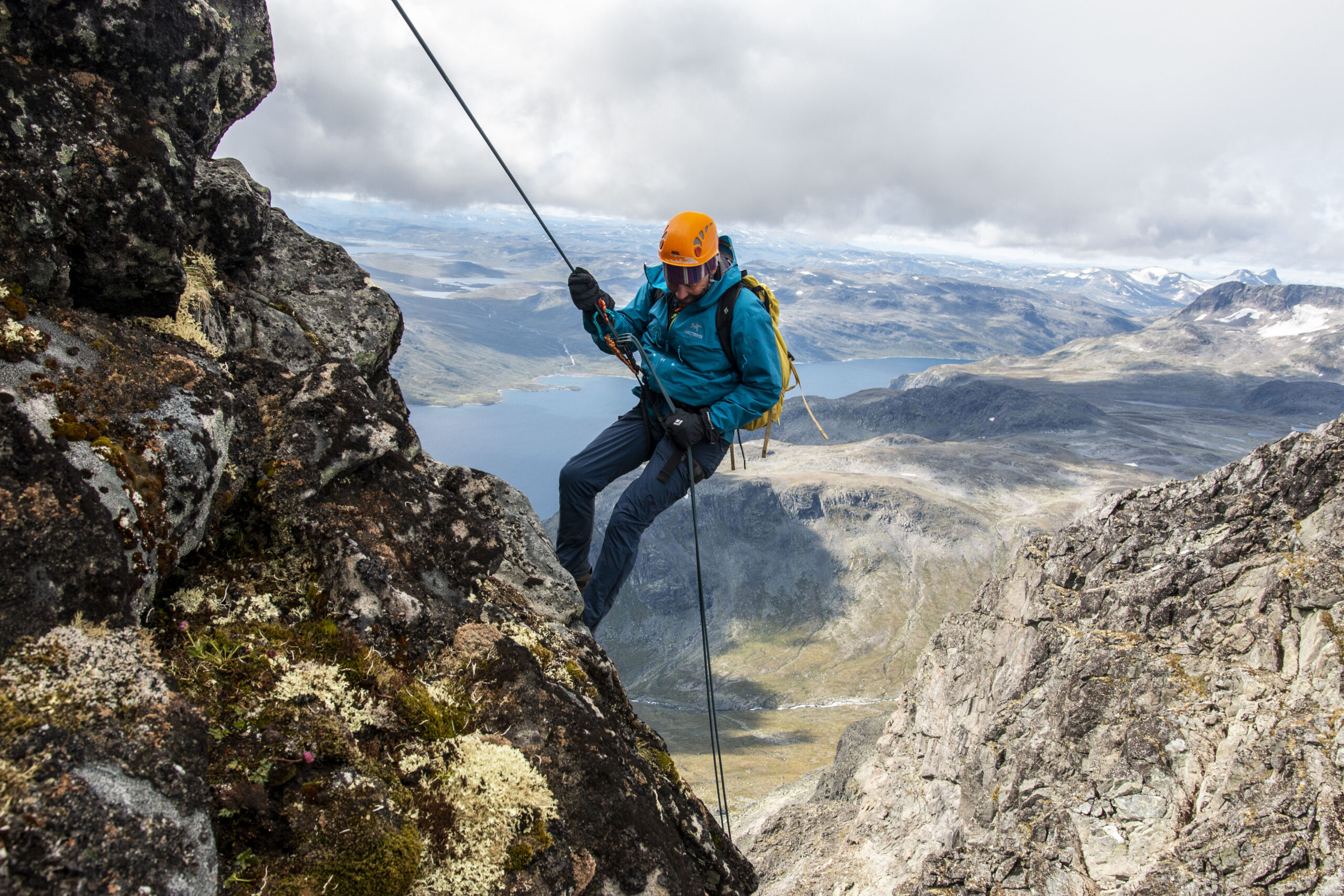
Østre Torfinnstind is the easternmost of the three Torfinnstinds. It rises majestically in the sky behind Torfinnsbu. It is also the highest of Torfinnstindene with its 2119 masl. The ascent starts immediately and it is therefore only 3km from Torfinnsbu and up to the top. One should be accustomed to the mountains and in good physical shape for this trip and it is therefore no problem to reach this as a day trip. From the boat docks at Torfinnsbu at 09:50 you have a little over 6.5 hours before you have to be back.
Facts
- Time: 3-5 hours, plus breaks
- Marking: Not marked
- Altitude: 1060 m
- Difficulty: Demanding. Should be climbed with a guide due to safety
Tour description
The trip starts by following the path towards Gjendebu up Torfinnsdalen to where the terrain flattens out somewhat. Here you turn left onto an unmarked path up to the steepest part and into a gutter formation. Some sections up the gutter need to be split. This is where the hard part starts with finding the right drain up to the top. There are gutters that do not lead anywhere and there are gutters that also lead to the top, but which give a much more difficult ascent. Especially with poor visibility, it is easy to go wrong. Therefore, the trip should be accompanied by an experienced mountain guide.
For the really thrill-seeking and sporty mountain people, we recommend the trip over Torfinnstraversen. The trip starts with the ascent of Østre Torfinnstind, but continues over Midtre and Vestre before coming down to Langedalen and returning to Torfinnsbu. This trip offers both climbing and rappelling and you must have an experienced guide. The trip is so long that this must be combined with an overnight stay at Torfinnsbu before returning with M / B Bitihorn the next day.
Here´s how to do it
- Drive to Bygdin or take the Valdres Express from Beitostølen at 08:45 (which also corresponds by bus from Fagernes at 08:00).
Take the M / B Bitihorn to Torfinnsbu at 09:05.
Go to Østre Torfinnstind
Take the boat back from Torfinnsbu at 16:30 (which corresponds with the Valdres Express to Beitostølen and Fagernes).
Tip from the captain
Go on this tour with a guide unless you are very experienced with summit hikes.
Remember helmet in the gutter!
Valdresflye – Torfinnsbu
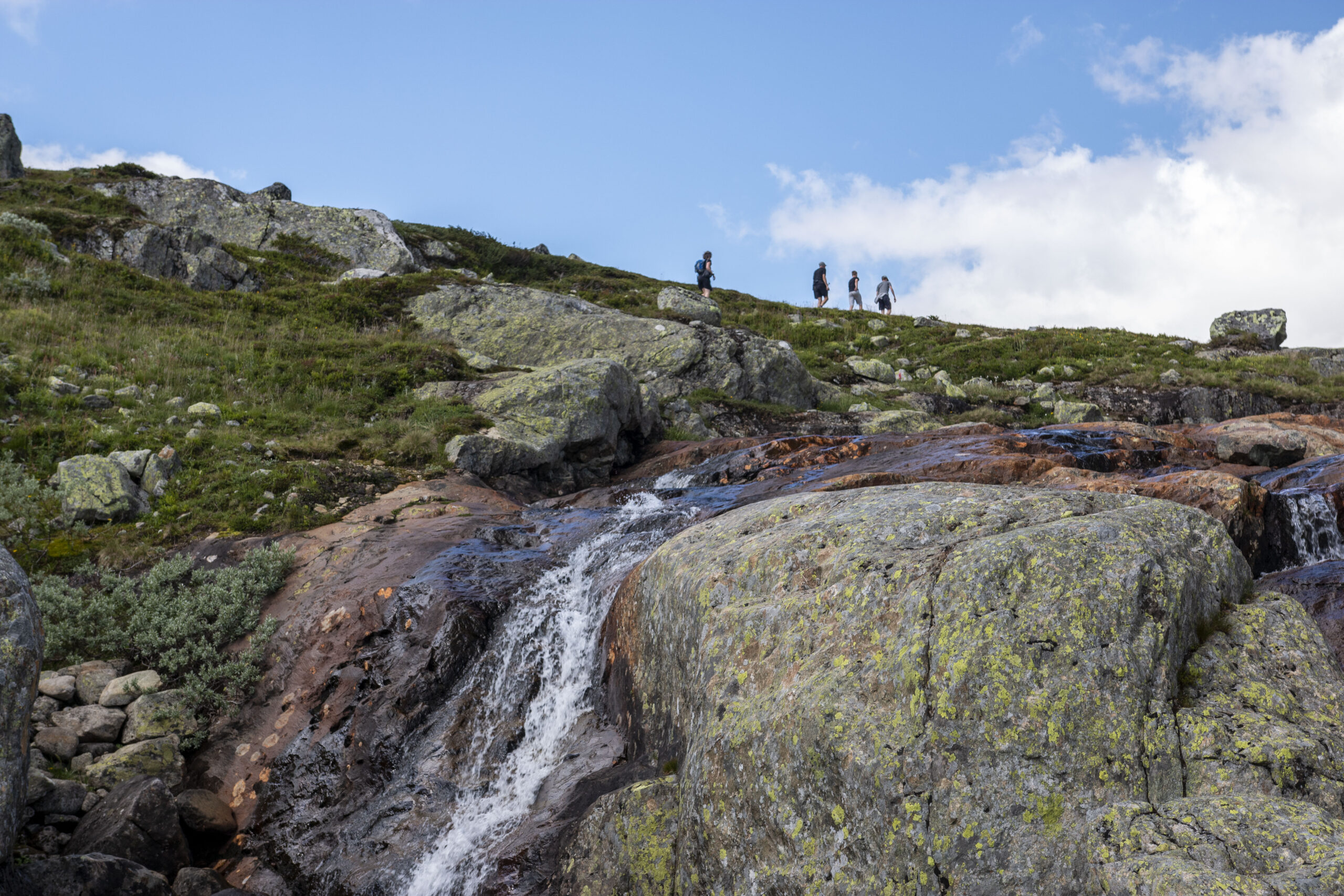
A very easy trip in Jotunheimen which starts at Valdresflye 1389 masl and ends at Torfinnsbu. It is suitable for all ages and especially well for families with children and seniors.
Facts
Length: 14 km
Time: about 4 hours, plus breaks
Marking: The DNT mark with red T’s all the way
Altitude: 110 m
Difficulty: Medium. A trip most people can handle
Tour description
Start at Valdresflye and walk approx. 100m in the path towards Rasletind. Turn left at the crossroads (follow the signs to Torfinnsbu and Bygdin). Go approx. 4km to a new crossroads and turn right (follow the signs to Torfinnsbu). There is no bridge to cross the Breiløypa, but it is easy to cross it by walking over rocks in the river. With high water flow, you may have to water a little. From here you follow the path to Hestevollen where you enter the path to Torfinnsbu. Walk past Hestevollen and further west to Torfinnsbu. It is recommended to take the lower path from Hestevollen and not an alternative route (which goes higher up and is heavier to walk, especially due to more hilly terrain).
Tip from the captain
If you want a slightly harder trip, you can take the boat to Torfinnsbu first and go the opposite way. Then you get 440 meters of elevation gain.
If you go in early July, there may be high water flow in Breiløypa. Bring a small towel in case you need to wade.
Here´s how to do it
- Drive to Valdresflye or take the express bus from Beitostølen.
Alternative with car: Drive to Bygdin and park there. Take the express bus to Valdresflye. - Walk from Valdresflye to Torfinnsbu.
- Take the M/B Bitihorn from Torfinnsbu 16:30.
- When you have parked on Valdresflye: Return to Valdresflye with the express bus from Bygdin.
Torfinnsbu – Bygdin
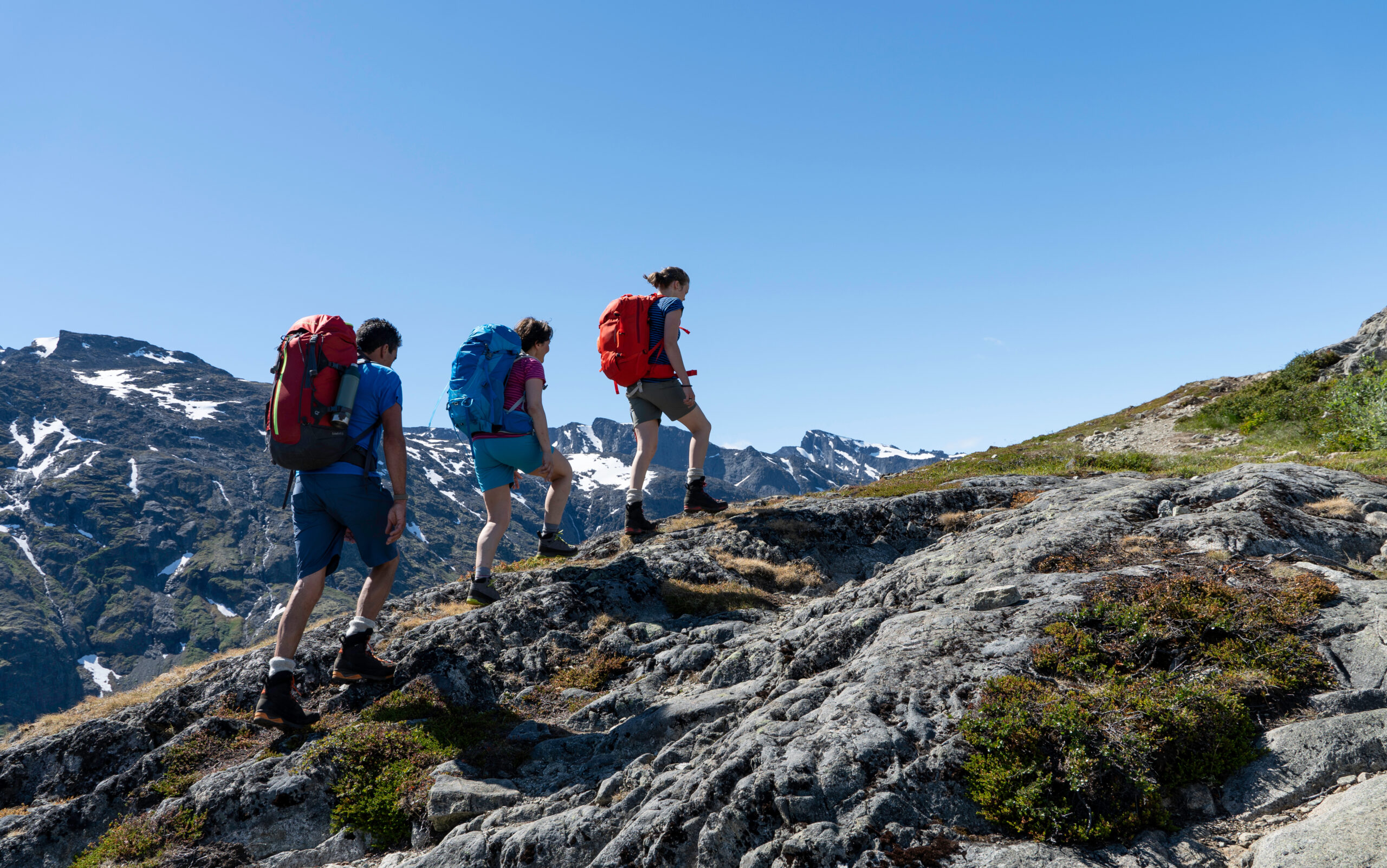
A classic and very easy trip in Jotunheimen. It is therefore suitable for all ages and is very popular with families with children and seniors.
Facts
Length: 14 km
Time: 3-4 hours, plus breaks
Marking: The DNT mark with red T’s all the way
Altitude: 177 m
Difficulty: Medium. A trip most people can handle
Tour description
Take the boat to Torfinnsbu and return to Bygdin, or vice versa if you want the best view in front of you. The trail is well marked and runs along the water all the way. The trip is easy and very hilly terrain. An alternative route has been marked higher up in the terrain between Torfinnsbu and Hestevollen, but this is somewhat longer and heavier to walk due to. more hilly terrain. The last 3km from Bygdisheim to Bygdin goes along a gravel road. Feel free to have lunch at Hestevollen, an old farm area east of Torfinnsbu. The Germans also had a large camp at Hestevollen during World War II.
Tip from the captain
Remember good mountain shoes. The trail may have some soft sections, especially early in the season or after heavy rain.
Take the trip from Bygdin to Torfinnsbu. Then you have the best view in front of you.
Here´s how to do it
Drive to Bygdin or take the Valdres Express from Beitostølen (which corresponds by bus from Fagernes at 08:00).
Take the M / B Bitihorn from Bygdin at 09:05 or 13:30. (take the first boat if you are returning from Bygdin by bus).
If you go the opposite way, the boat leaves Torfinnsbu at 12:30 and 16:30. Both departures correspond with the Valdres Express at Bygdin for return to Beitostølen and Fagernes.
Besseggen
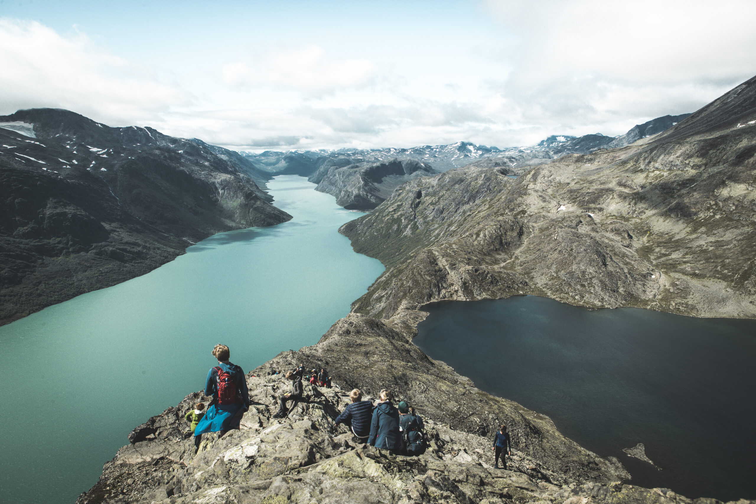
Memorable, unbelievably scenic bucket list trip, which is one of the most popular hikes in the whole of Norway. This one requires good fitness. Even though it is very safe as long as you follow the markings, you do need to be a hiker who can handle some heights.
Facts
Length: 14 km
Time: 6 – 8 hours, plus breaks
Marking: The DNT mark with red T’s all the way
Altitude: 1020 hm
Difficulty: Demanding. Should be in good physical shape.
Tour description
Start with a boat cruise to Memurubu. The entire trail is well marked and immediately rises steeply up the mountain from the boat pier. Hike slowly and don’t use all your strength yet as there is still lots of hiking left after reaching the first plateau. Follow the plateau until the path goes down to “bandet”, the end of Bessvatnet. Now it’s time to climb the ridge. It is fairly wide so most hikers will not experience any issues with the height yet. As you near the top of the ridge you will reach the point where most of the most famous pictures of the Besseggen Ridge are taken. Continue up and you reach a small plateau where the trail descends a bit before heading up towards Veslfjellet, the highest point on the entire hike at 1743 m.a.s.l. Follow the trail to the right down towards Gjendesheim.
Tip from the captain
Remember good mountain shoes. The trail is rocky and has some steep, slippery passages down to Gjendesheim.
Visit the Gjendesheim DNT lodge or Gjendeosen cafe to buy a good meal or a delicious waffle after your hike.
Here´s how to do it
- Take the express bus from Oslo/Beitostølen or the car to Gjendesheim.
- Take a boat trip with Gjendebåten from Gjendesheim to Memurubu.
- If you go the opposite way, start hiking at Gjendesheim and take the boat from Memurubu back to Gjendesheim latest 16:55.
Veslådalen
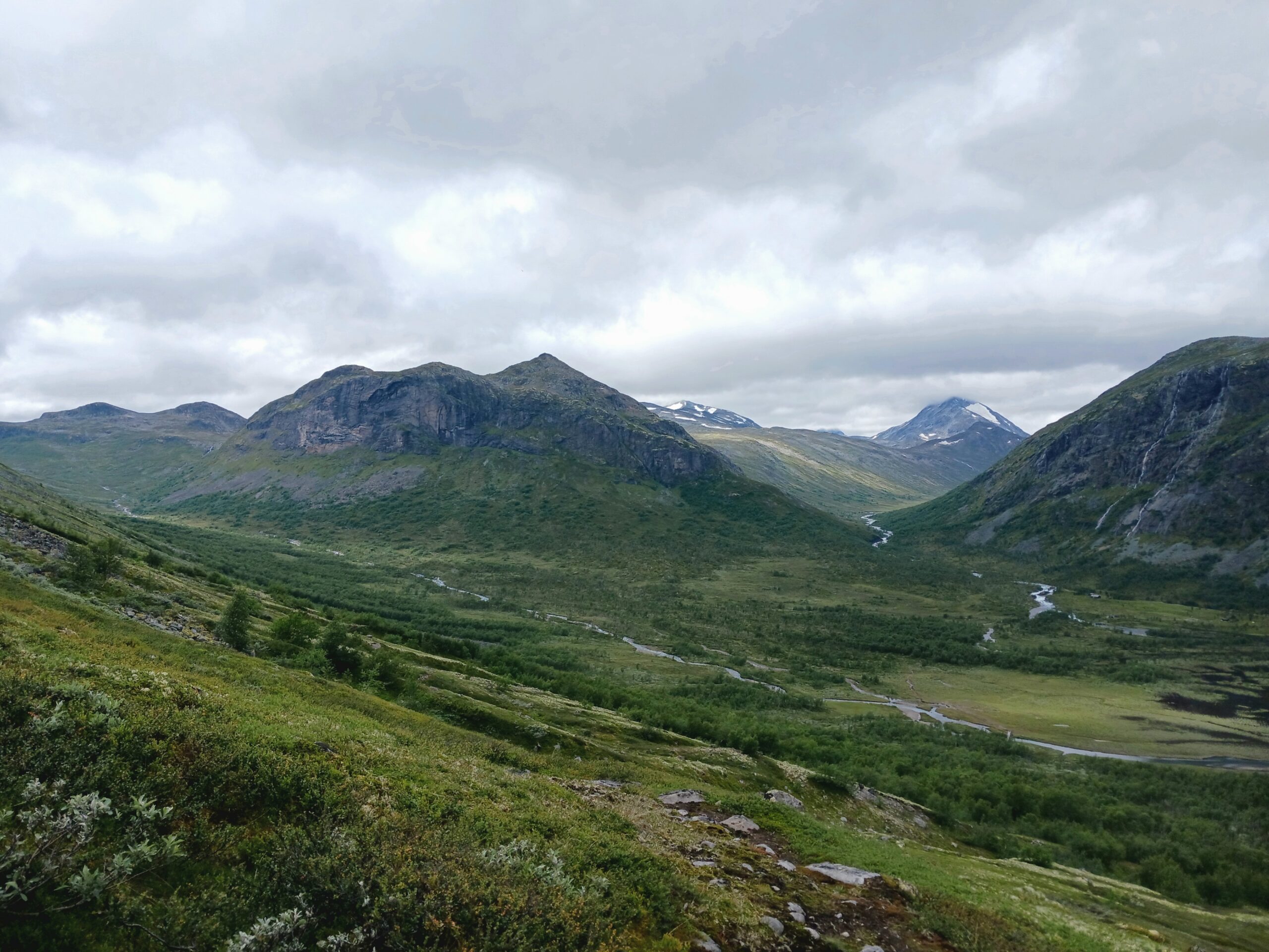
Scenic, moderate hike through picturesque, lovely Veslådalen for walkers who can handle a narrow timeframe: You need to complete the hike in 5,5 hours, which is doable in this quite easy terrain. You can still take small breaks here and there, don’t worry 🙂 Before and after the hike, you enjoy a relaxing boat cruise to the start point – Eidsbugarden – and from the finish – Gjendebu. Take in the views in this open valley and to the steep, impressive mountain walls surrounding the big lakes Bygdin and Gjende.
Facts
Length: 15,8 km
Time: 5,5 hours
Marking: The DNT mark with red T’s all the way
Altitude: 320 hm
Difficulty: Medium. A trip most people can handle
Tour description
Start with a boat cruise from Bygdin to Eidsbugarden, where the trail starts. The first part is fairly flat by the lakeside, until you leave lake Bygdin behind to take on a short ascent up into Veslådalen, following the well-marked trail to Gjendebu. Until about 6 km into your hike, you ascent very smoothly inside this open valley, crossing small streams and passing picturesque, small lakes. As the Velsådalen opens towards the east, you get a breathtaking view to turquise lake Gjende and the steep ridges surrounding it, just before descending to the small delta at Gjendebu, amidst light birch forest.
Tip from the captain
Good to know: There is no phone reception on the most part of the hike. Make sure to have offline maps if you use your smartphone for navigation.
Bring yourself enough snacks for the day, as there will not be much time to buy something at Bygdin, Fondsbu, Gjendebu or Gjendesheim.
Here´s how to do it
- Take the express bus or the car to Bygdin Høifjellshotell.
- Take a boat cruise with M/B Bitihorn to Eidsbugarden (9:05 – 10:50).
- Hike from Eidsbugarden to Gjendebu.
- Take a boat trip with Gjendebåten from Gjendebu to Gjendesheim (16:25 – 17:15).
- Take the express bus back to Bygdin.
